Alumni

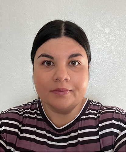
Class of 2016
Bertha Garcia Munoz | B.S. Geography, GIS emphasis, and Anthropology minor
Bertha Garcia Muñoz is a Sr. GIS Research Analyst Production Supervisor at EDM Services, Inc. Her team specializes in creating project closeout packages that reflect updates made in the real world to the gas and petroleum pipeline networks using GIS survey data and linear network analysis applied to CAD/PDF construction drawings. In 2016, Bertha Garcia Muñoz graduated from Cal Poly...
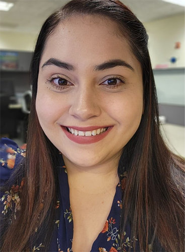
Class of 2016
Marisa Valencia Silva | B.S. Geography, GIS emphasis
"Working for the LAFD has been a gratifying career experience because I feel like I'm never doing the same thing every day. I get the opportunity to utilize my unique skillsets to supply our sworn members with tools they need to save lives and navigate through major incidents in the Los Angeles community daily. There's always a new project or request coming through, and seeing...
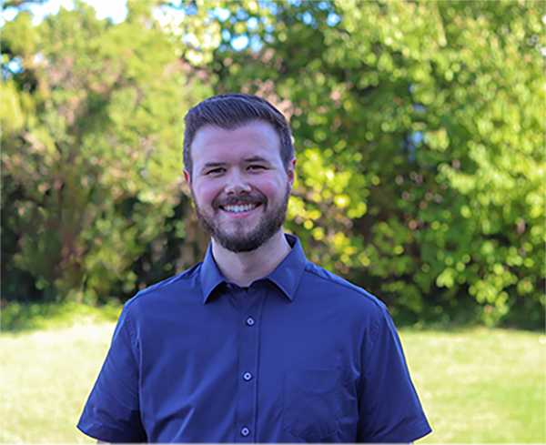
Class of 2017
Andrew Dahlquist | B.S. Geography, GIS emphasis
“Take advantage of all opportunities that professors and colleagues introduce. Field research, club participation, research assistance, and any other experiences will help you connect with more people and will help distinguish you from others.” Shortly after graduating, I started at Sonic as a GIS Technician and within a few years was promoted through several positions ultimately...
Class of 2018
Diana DeGroot | B.S. Geography, GIS emphasis, Anthropology minor
In her capacity as a planner, she has collaborated extensively with local and federal agencies, communities, and consultants to ensure approval of significant transportation improvement projects. Some examples of GIS projects she helped to deliver include new interchanges, tolled express lanes, and wildlife linkages for endangered mountain lion populations. In addition, she is part of the...

Class of 2018
Purdeep Dhanoa | B.S. Anthropology, Cultural Resource Management emphasis, GIS minor
“I minored in Geographic Information System (GIS) as an Anthropology major because I was worried that my Bachelor’s alone might not be enough to crack the job market and it’s one of the best decisions I’ve made. Becoming a geospatial professional has allowed me to explore varied opportunities around the world, while making me a better archaeologist.” Initially...

Class of 2018
Elizabeth Perez | B.S. Geography, Environmental Geography emphasis
Elizabeth's GIS journey started at Cal Poly Pomona with an Environmental Geography major. But as her passion for GIS grew, she shifted her academic focus. Now, as UC Riverside's GIS Coordinator, she's amplifying GIS data across campus. Her work reaches planning, facilities, emergency management, and various other campus departments, demonstrating the invaluable role of...