CPPMLA Culminating Experience
Master Projects
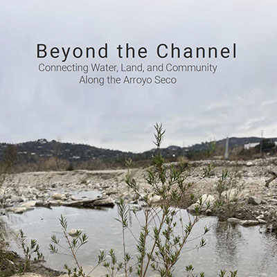
Beyond The ChannelPasadena is often celebrated for its blend of urban life and natural beauty. However, in past and recent times, this balance has historically favored economic interests, aesthetics, and recreation at the expense of ecological integrity and public health. Nowhere is this imbalance more evident than along the Arroyo Seco. A once meandering river was channelized and dammed for flood control, erasing its native ecology and vital contributions to groundwater. Read more here.
|
|
|
|
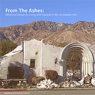
From the AshesLos Angeles County faces increasing climate-related hazards, which are becoming more frequent, intense, and complex—often occurring as compound events, where multiple hazards unfold simultaneously or in sequence. While the county’s Hazard Mitigation and Emergency Management Plans identify risks and propose long-term strategies, they often lack meaningful community engagement. This project responds to the urgent need for community-driven, multiscalar, and cross-agency approaches to climate adaptation and hazard mitigation. Read more here. |
|
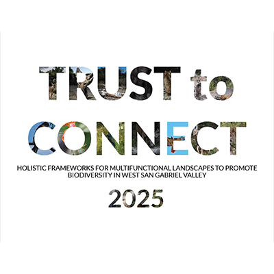
Trust to ConnectIn response to major habitat loss and fragmentation in the West San Gabriel Valley, Trust to Connect considers how to protect wildlife and the land itself from the rapid and dynamic effects of anthropogenic land conversion and climate change. Following an investigation of contemporary and foundational conservation methods, this project proposes a comprehensive strategy for land acquisition, management, and connectivity through three multiscalar frameworks. Read more here. |
|
Destination: Baldwin ParkBaldwin Park is home to approximately 70,000 residents located on Tongva Land in the eastern portion of Los Angeles County, California, approximately 15 miles east of downtown Los Angeles. The city’s walkable downtown origins, centered on the Pacific Electric (RedCar) Railway, have become embedded in an automobile-centered urban landscape as rail has fallen out of popularity in the last century. Interstates I-10 and I-605 intersect in Baldwin Park’s southwest corner, earning it the title of “Hub of the San Gabriel Valley”. Read more here. |
|
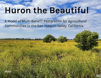
Huron the Beautiful"Huron the Beautiful" is a vision for the future of California’s San Joaquin Valley. As climate change and groundwater depletion threaten the future of industrial agriculture, a new model for sustainable land management and economic opportunity is desperately needed. Forged from a partnership between Cal Poly Pomona’s Department of Landscape Architecture, the City of Huron, the LEAP Institute, and the National Park Service Rivers, Trails & Conservation Assistance, the "Huron the Beautiful" vision plan proposes transforming a 3000-acre federally-owned flood detention basin bordering the California Aqueduct into a multi-benefit recreation area that restores native habitat, attracts regional visitors, creates "green jobs," provides environmental learning opportunities, and empowers local communities through co-management. Read more here. |
|
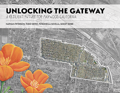
Unlocking the GatewayAs the impacts of the climate crisis continue to intensify, densely urbanized cities are recognizing their lack of preparedness for future extreme weather events. Many Southern California cities are working to develop Climate Action Plans to create safe and healthy futures for their residents. These plans help identify areas of improvement so that they can achieve their climate goals and adhere to the State of California’s emission reductions requirements. Read more here. |
|
|
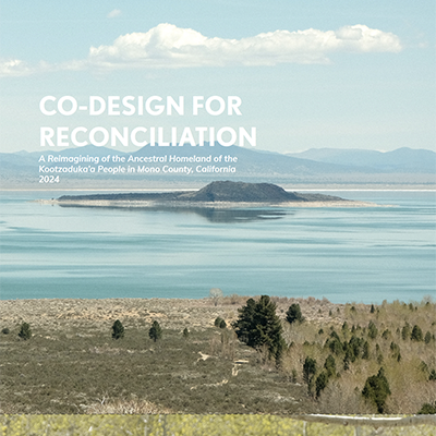
Co-Design for ReconciliationThe Mono Lake Kootzaduka’a tribe is one of seven traditionally associated tribes of Yosemite National Park, and one of only two who lack federal recognition. As an unrecognized people, the tribe has been denied land ownership, sovereignty, social services, and federal funding. This project originates in that status, and in the tribe’s desire to achieve their goals through alternate means, rather than waiting for federal recognition. Read more here.
|
|
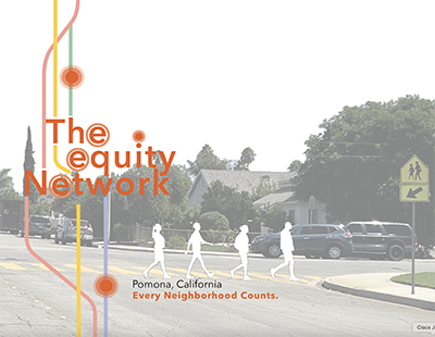
The Equity NetworkThis project, in partnership with the City of Pomona, California develops an equity-based approach to enhancing green infrastructure, and improving access to amenities for historically underserved neighborhoods. Traditionally, equity has been defined in terms of even distribution of resources, often overlooking historical patterns of unequal treatment. This project focuses on equality of outcomes for each neighborhood to ensure a more inclusive approach. Read more here. |
 |
|
|
 |
|
|
|
|
|
|
|
|
|
|
|
|